Storm Track Weather

Sabrina Ullman: Warmer with a wintry mix this weekend
Last Updated
Increasing clouds and a warmer southerly wind will bring in a wintry mix Saturday. It will be spread out all over and last through Sunday.


Meet the Storm Track Weather Meteorologists

Justin Liles says he got his weather calling at a very young age while watching Kermit the Frog give the weather reports on Sesame Street. He joined the WDIO weather staff in the spring of 2005, and became the Chief Meteorologist in 2007. Justin spends many hours visiting Northland schools talking about the weather with students.
Read More…
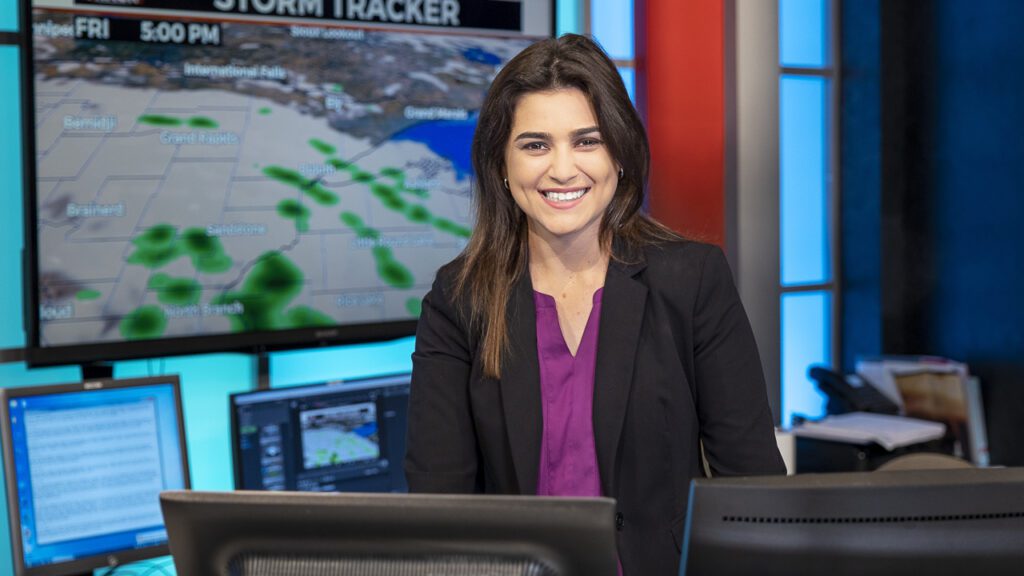
Meteorologist Lea Zmurko traveled across country to see what Minnesota winters are like. An avid skier, she says she looks forward to “carving some turns” on our local hills and she is diving right into forecasting for the Northland and the biggest freshwater lake in the world. She says this lake is “the next level!”
Read More…
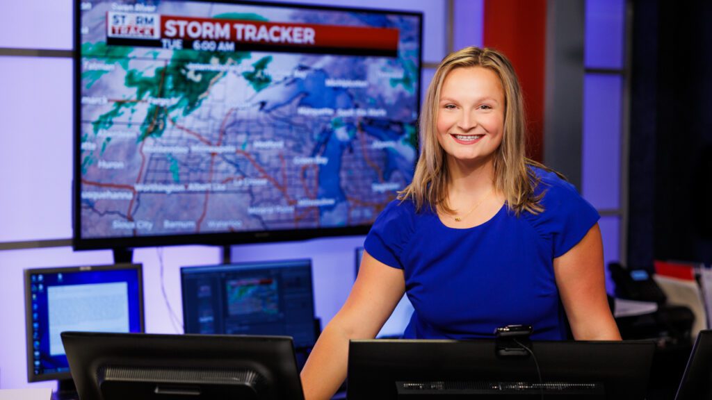
Meteorologist Sabrina Ullman joined the WDIO Weather Team immediately after graduating college in May 2021. Coming from Florida, it didn’t take long for Sabrina to experience a “real winter.” Sabrina is a multimedia journalist whose stories focus on the outdoors and our natural resources.
Read More…