Justin Liles: Another warmer day Tuesday
Some isolated showers and possibly a few rumbles of thunder will continue over NW WI through the remainder of the afternoon. Precipitation amounts will little, if any. Winds remain out of the north at 5 to 10 mph, with occasional gusts up to 15 mph this afternoon before weakening this evening and tonight.
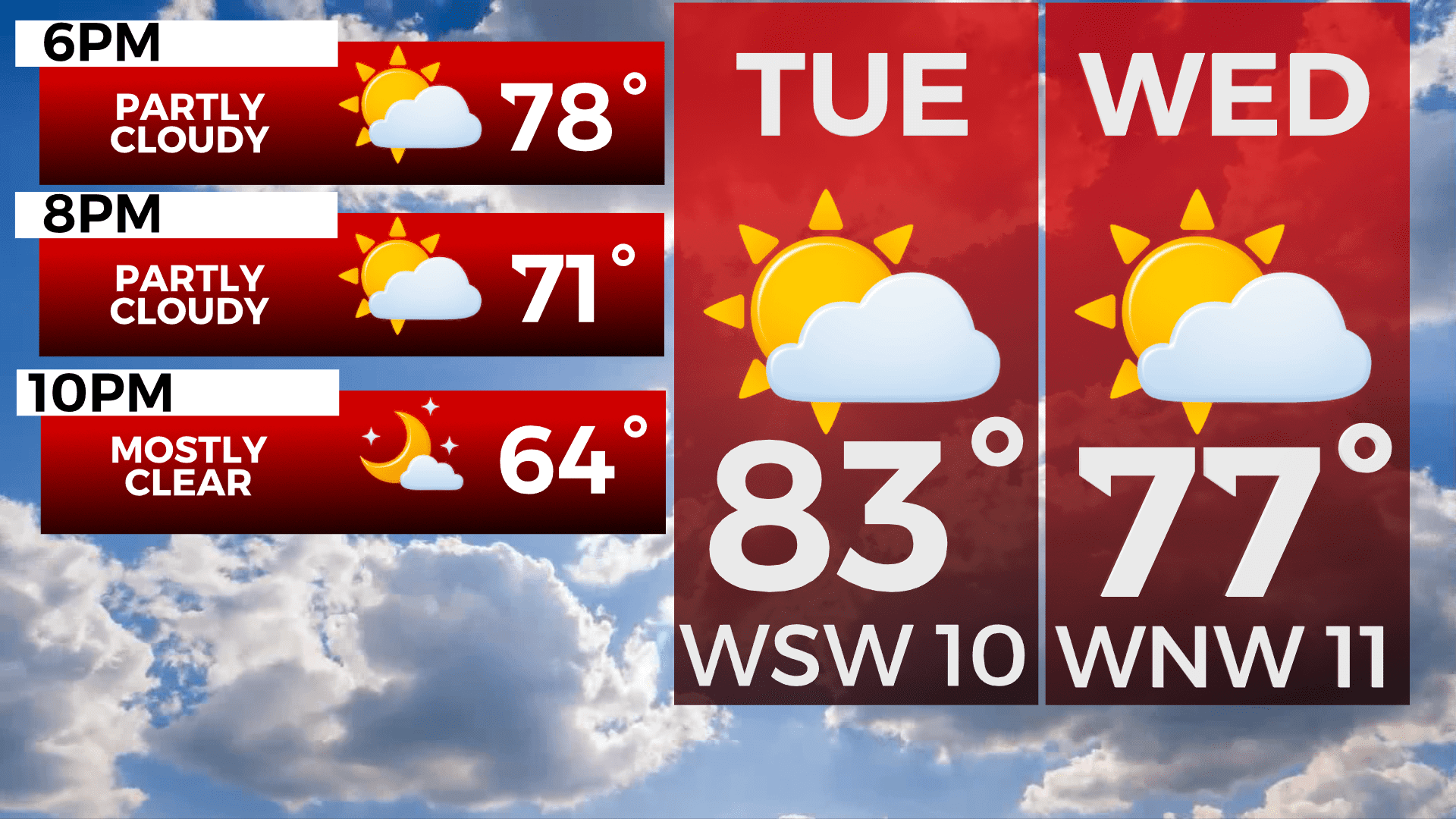
The next chance of precipitation will be Tuesday afternoon into Wednesday with limited precipitation totals with most areas receiving a trace to a tenth of an inch, with some localized pockets around one quarter of an inch over the Iron Range and Arrowhead.
Temperatures will be on a cooling trend through the week with the warmest day being tomorrow with highs in the low to mid 80s across the region to Friday where temperatures are expected to be in the upper 60s to near 70s. Another chance of precipitation will be Thursday night into Friday.
TONIGHT
Mostly clear, with a low around 56. Northwest wind 5 to 10 mph.
TUESDAY
Sunny, with a high near 82. Northwest wind 5 to 10 mph becoming southwest in the morning. Winds could gust as high as 15 mph.
WEDNESDAY
A 30 percent chance of showers and thunderstorms, mainly before 7am. Mostly sunny, with a high near 76. Breezy, with a northwest wind 5 to 15 mph, with gusts as high as 20 mph.
THURSDAY
Mostly sunny, with a high near 72. North wind 5 to 10 mph becoming east in the afternoon.
FRIDAY
Showers likely, with thunderstorms also possible after 1pm. Mostly cloudy, with a high near 70. Breezy, with an east wind 10 to 15 mph becoming west in the afternoon. Winds could gust as high as 20 mph.
SATURDAY
Mostly sunny, with a high near 73. Breezy, with a northwest wind 10 to 15 mph, with gusts as high as 25 mph.
SUNDAY
A chance of showers. Partly sunny, with a high near 73. Breezy, with a west wind 10 to 15 mph, with gusts as high as 20 mph.
MONDAY
A slight chance of showers. Mostly sunny, with a high near 74. Breezy, with a northwest wind 10 to 15 mph, with gusts as high as 20 mph.