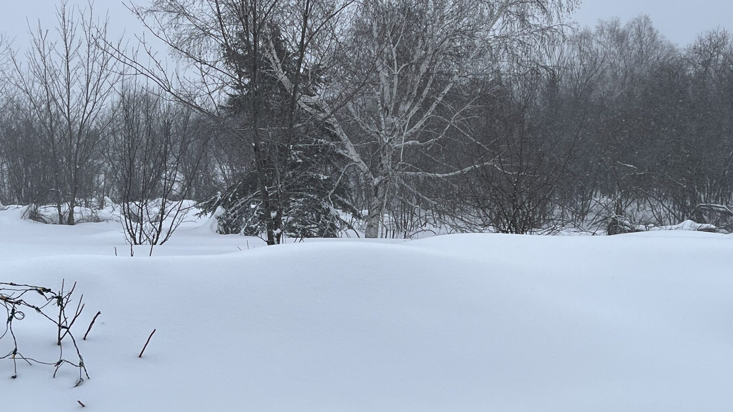
Snowfall totals for February 22 & 23

(WDIO)
The Northland braced for a major storm to move across the region, and the Storm Track Weather team kept a close eye on the system as it moved closer. Snow began in southern portions of Minnesota early Wednesday morning, and picked up for the northern sections of the state and in Northwest Wisconsin Wednesday afternoon through the overnight.
This system really picked up steam through Thursday morning hours, especially in Northwest Wisconsin, in fact a portion of US Highway 2 was closed due to extreme weather conditions.
Here are the snowfall totals we have as reported to the National Weather Service as of 4:00 p.m.
- 8:30 AM – 1 NE Benoit – 26 inches – Bayfield County (13 inches since 4pm Wed.)
- 12:51 PM – 5 WSW Washburn – 17.0 inches – Bayfield County
- 11:20 AM – 4 WSW Northwoods Beach – 10 inches – Sawyer County
- 7:30 AM – 5 E Oliver – 10 inches – Douglas County
- 1:36 PM – 4 SSE Webster – 9.5 inches – Burnett County
- 1:17 PM – 5 S Herbster – 9.0 inches – Bayfield County
- 11:00 AM – 5 W Pine Center – 9.0 inches – Crow Wing County
- 1:57 PM – 3 NNW Mahtowa – 7.6 inches – Carlton County
- 12:00 PM – NWS Duluth – 6.4 inches – St. Louis County
- 2:16 PM – 2 SSW Moose Lake – 6.2 inches – Pine County
- 12:06 PM – 1 NNE Cloquet – 6.0 inches – Carlton County
- 8:45 AM – 8 SE Brainerd – 6.0 inches – Crow Wing County
- 10:30 AM – 6 ESE Phillips – 5.3 inches – Price County
- 10:15 AM – 3 N Amnicon Falls S.P. – 5.2 inches – Douglas County
- 3:00 PM – 7 WSW Pine River – 5.0 inches – Cass County
- 2:00 PM – 2 NNW Duluth – 3.8 inches – St. Louis County