Justin Liles: Quit skies return tonight
[anvplayer video=”5185845″ station=”998130″]
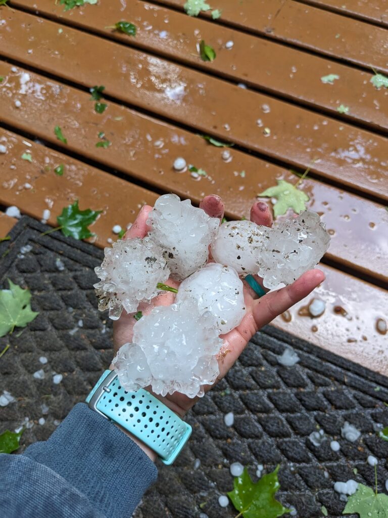
Severe storms are possible this afternoon & evening across the Northland. Large hail is possible and there is potential for hail up to 2″ in diameter, especially from around Aitkin north into the Iron Range to the Twin Ports, into northwest Wisconsin and along the I35 corridor. Wind gusts up to 70 mph are possible with these storms, and a tornado or two is also possible.
Storm Track Update
- Latest Watches & Warnings
- Follow the storms with the Storm Track Radar (turn on Storm Track under Layers)
- Share pictures/video

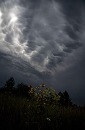

Storms will weaken overnight and produce some early morning fog. Temperatures are expected to skyrocket beginning this weekend as we begin a heat wave in the Northland. Many 80s and possibly 90s away from the lake are possible heading into next week. Before then, we do have another chance of getting some storms late Saturday night.
Tonight
Showers and thunderstorms before 4am, then a chance of showers. Patchy fog after 10pm. Low around 54. East wind 5 to 10 mph becoming northwest after midnight.
Thursday
AM showers and light fog, Otherwise, mostly cloudy, then gradually becoming sunny, with a high near 77. Breezy, with a north wind 10 to 15 mph, with gusts as high as 20 mph.
Friday
A 20 percent chance of showers and thunderstorms after 1pm. Mostly sunny, with a high near 79. Northwest wind 5 to 10 mph.
Saturday
A chance of showers and thunderstorms after 1pm. Mostly sunny, with a high near 81. West wind 5 to 10 mph, with gusts as high as 15 mph.
Sunday
Sunny, with a high near 81. Northwest wind 5 to 10 mph, with gusts as high as 15 mph..
Monday
Mostly sunny, with a high near 81. Breezy, with an east wind 5 to 15 mph, with gusts as high as 20 mph.
Tuesday
Mostly sunny, with a high near 83. Southeast wind around 10 mph, with gusts as high as 15 mph.
Wednesday
Mostly sunny, with a high near 86. Breezy, with a southeast wind 10 to 15 mph becoming south in the afternoon. Winds could gust as high as 20 mph.