Justin Liles: Scattered pop-up showers all week and into the weekend
Overnight scattered showers and thunderstorms will continue to pop up around the Northland. Most of the rain activity will continue to fire in the late afternoon to evening hours the rest of the week and into the weekend. While localized heavy rainfall is possible under any pop-up thunderstorms, coverage will be limited, and most locations won`t see much, if any, rain.
Otherwise, a blocking pattern will keep conditions hot through at least early next week. Conditions will be drier but enough low-level moisture is hanging around to help keep higher relative humidity. This means some relief from increasing fire dangers. Some stronger easterly afternoon wind gusts on Sunday into early next week could also bring back near-critical fire weather conditions.
TONIGHT
Scattered showers and thunderstorms, mainly between 8pm and 9pm. Mostly cloudy, with a low around 57. East wind 5 to 10 mph.
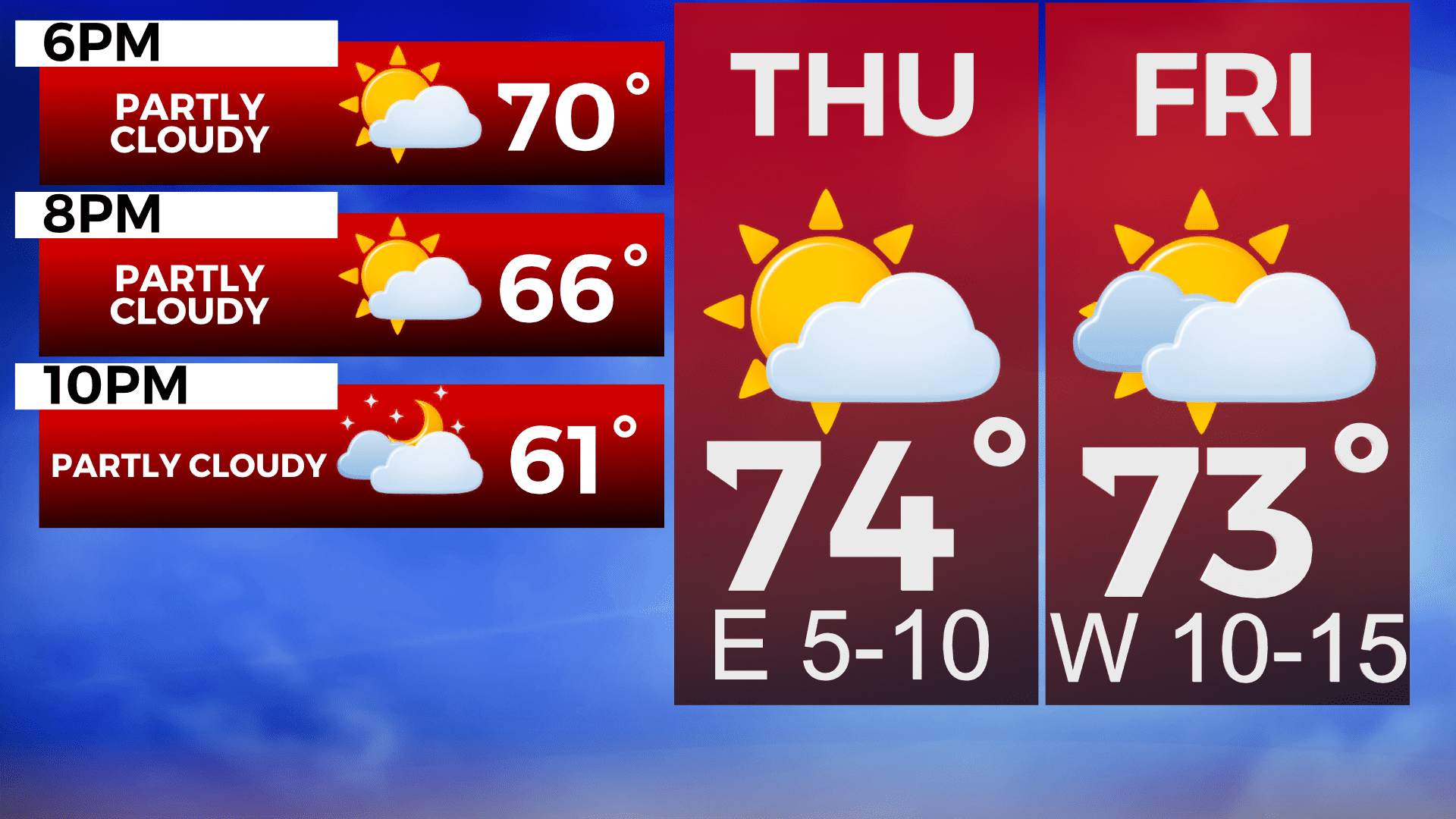
THURSDAY
Scattered PM showers and thunderstorms, Mostly sunny, with a high near 79. Southeast wind 5 to 10 mph.
FRIDAY
A 40 percent chance of showers and thunderstorms after 1pm. Partly sunny, with a high near 75. East wind 5 to 10 mph, with gusts as high as 15 mph.
SATURDAY
Pop up showers possible, Mostly sunny, with a high near 74. Breezy, with an east wind 10 to 15 mph, with gusts as high as 20 mph.
SUNDAY
Sunny, with a high near 78. East wind 5 to 10 mph.
MONDAY
A slight chance of showers and thunderstorms. Mostly sunny, with a high near 79. North wind 5 to 10 mph becoming east in the afternoon. Winds could gust as high as 20 mph.
TUESDAY
A slight chance of showers. Mostly sunny, with a high near 70. Breezy, with an east wind 10 to 15 mph, with gusts as high as 20 mph.