Discovering the impact of wildfire on peatlands
[anvplayer video=”5190813″ station=”998130″]
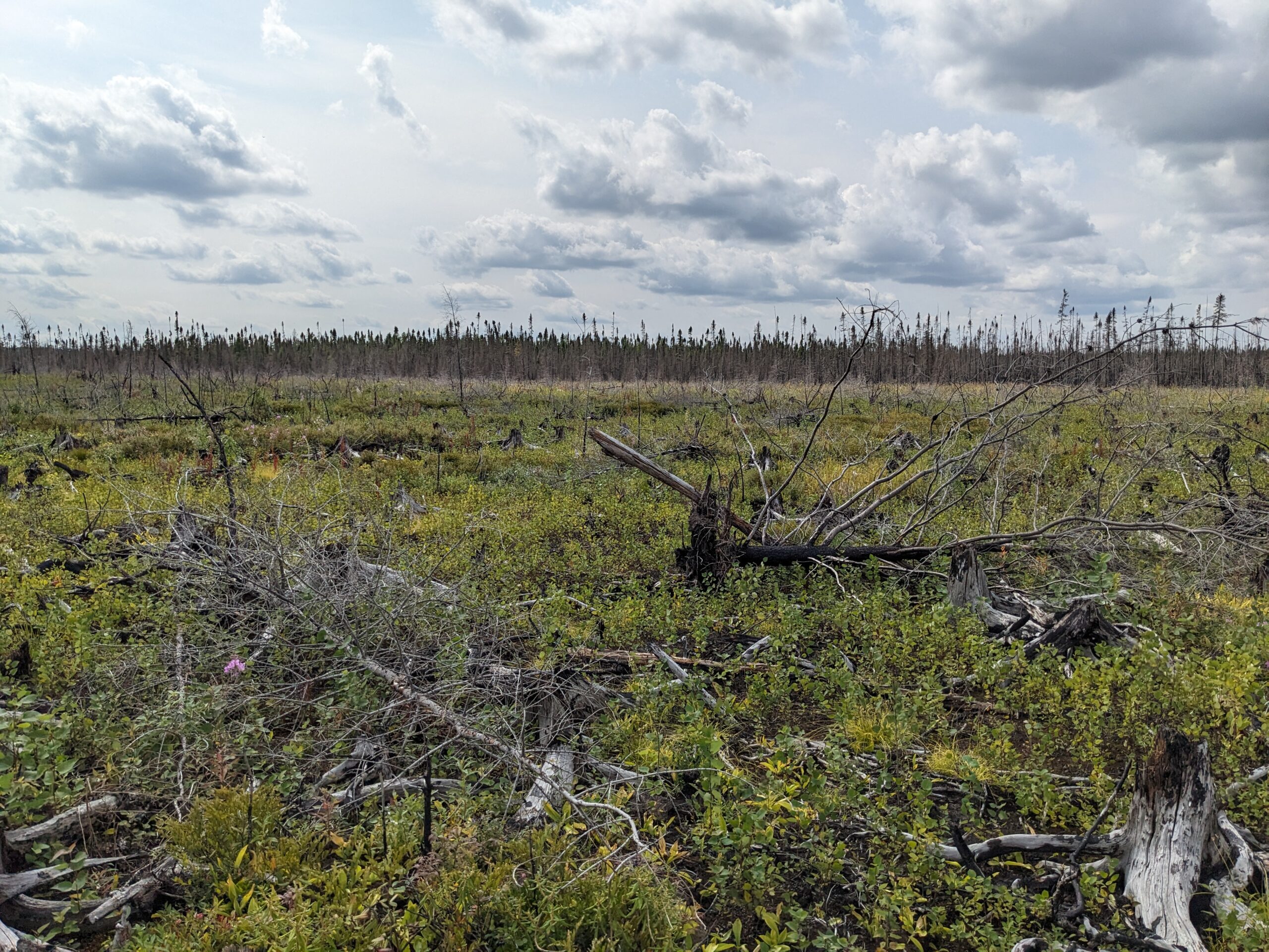
In 2021, the Greenwood Fire burned over 26 thousand acres of land. This included peatlands, which play a crucial role in carbon storage.
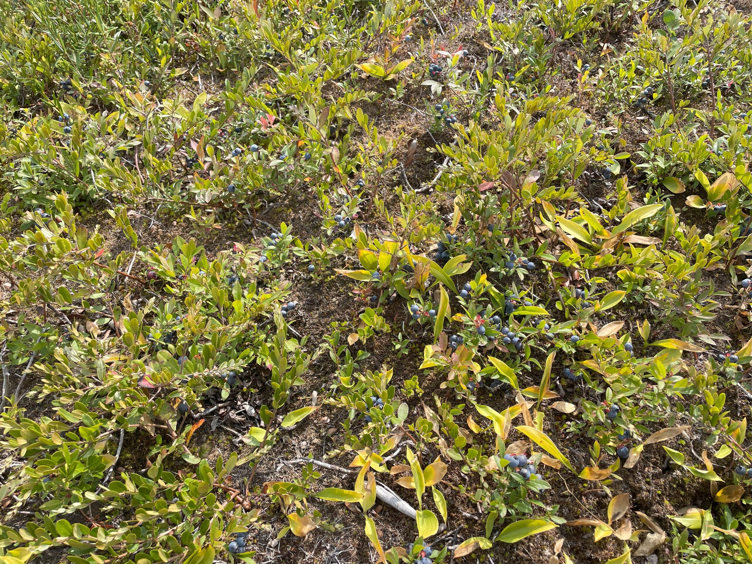
“Peatlands are an ecosystem that we have a lot of in Minnesota,” said U.S.D.A Forest Service Research Soil Scientist Randy Kolka. “They’re very deep organic soils. They only occupy about 3% of the planet, but they host about 30% of the carbon, and so they’re really disproportionately important for carbon and carbon cycling.”
For thousands of years, peatlands have served as carbon sinks, keeping carbon within them. Now, they are beginning to play a negative role in the climate.
“We’re starting to see with warming, especially and with fires as a part of climate change, as we’re going from being sinks for carbon to being a source of the atmosphere, which is sort of a double edged sword,” explained Kolka. “They’re not only sinks anymore to a cleaner atmosphere, they’re actually becoming a problem to the atmosphere and increasing greenhouse gasses in the atmosphere.”
The historic drought in northern Minnesota two summers ago led to the spread of the Greenwood Fire, burning through peatland and releasing carbon into the atmosphere. This may become a more common occurrence.
“With climate change, we are seeing more and more of these long droughts and we’re seeing more and more fire in this part of the world, and there’s no indication that that’s going to change any time soon,” said Kolka. “I think the frequency of fire is probably going to continue to increase.”
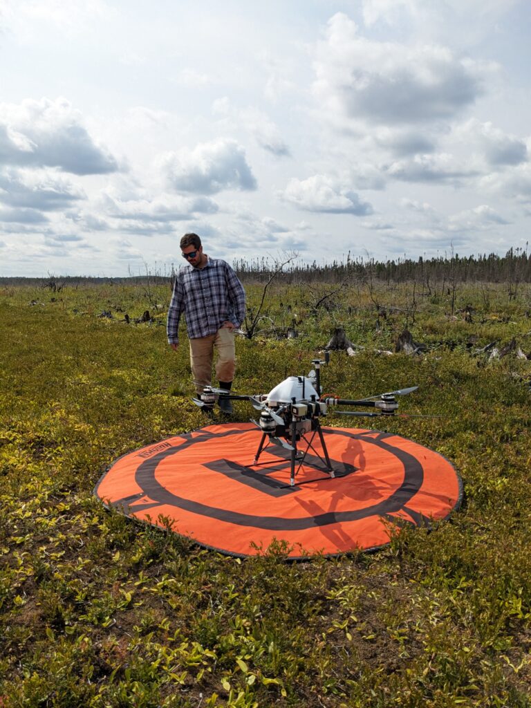
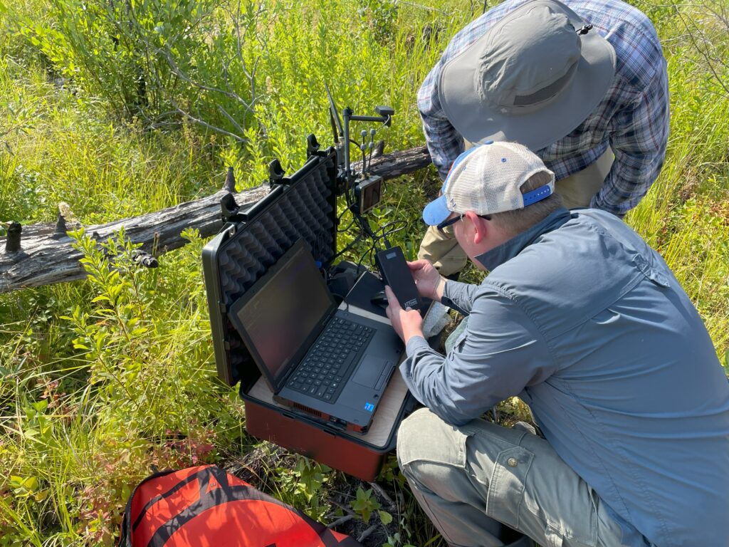
The Superior National Forest partnered with Boise State for a week of using a drone to collect LiDAR data on the Greenwood Fire perimeter.
To better understand the impacts of wildfire on peatlands, the Superior National Forest has been partnering with scientists from Boise State to fly an unmanned aircraft system (UAS) drone over the perimeter of the Greenwood Fire area. This information will be compared to LiDAR (light detection and ranging) data taken before the fire.
“What we hope is to get a new set of elevations from a new LiDAR flight, and compare the old and the new and look at the change in elevation, which is actually the change in volume of these peatlands, and by doing that, we know the volume loss in the peatlands and by sampling the soils and get the amount of carbon or nitrogen or, for example, mercury that’s been emitted as a result of the fire,” Kolka summarized.
The data collected will be used to help predict the global carbon circulation and our future climate.
“It’ll be pretty massive. Just because you don’t burn these ecosystems very often. Sometimes the return intervals are thousands of years on these peatland ecosystems because they’re wetlands. So it’s a very novel event as well,” said Kolka. “It occurred with the Greenwood Fire, where we actually have very severe fires in the field and so we’re taking every advantage of that to see what the future might hold if we have more of these types of fires.”