NWS updates spring flood outlook, with greater risk expected
[anvplayer video=”5169239″ station=”998130″]
The National Weather Service has released an update to their spring flood outlook, with no good news to share.
“We’ve been updating these outlooks through the month of February and March. Now basically just keeping an eye on how much snow and snow water equivalent we have through each of those outlooks,” said NWS Meteorologist Ketzel Levens. “We’ve seen the risk for flooding go up, which is mostly due to the fact that we continue to hold on to a really deep snowpack further and further into the spring that does have near record amounts of snow water equivalent in it.”
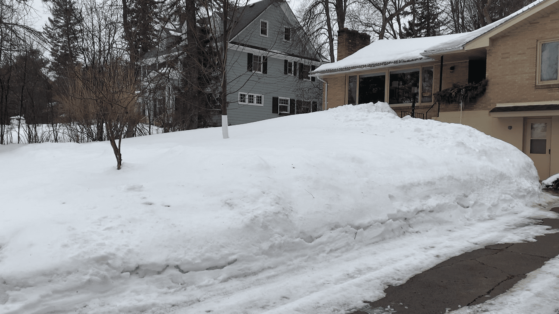
Usually by the time we get to late March, we see a decrease in snow depth as snow begins to melt. This year, although there has been some snow melt, there has been more snowfall than snow melt, increasing snow depth.
Snow depth is still above-normal for most of the Northland. Koochiching County had areas of below-normal snowpack, but most of the county is now close to normal.
The water in the snow adds to the issue. Most of the region has 4-7 inches of water in the snowpack. Both the North Shore and the South Shore have even more, with 6-10”+ of snow water equivalent.
The water in the snowpack is slightly to much above normal in the Rainy River Basin and much above normal for the rest of the Northland. In the St. Croix and Chippewa watershed, which includes Pine, Burnett, and Washburn Counties, the snowpack has approximately 4-6 inches more water in it than this time last year.
Analyzing the flood risk river by river, the highest risk according to the NWS is for the Mississippi River near Aitkin. There is above a 95% chance of moderate flooding in this area, and a 28% chance of major flooding.
“Some of our more recent flood years on the Mississippi have been years like 2020, 2013, 14,” said Levens. “And one of the last biggest years that we had some of our largest crests was 2012. We are looking at a pretty similar snowpack and snow water equivalent set up to that year.”
The Mississippi River near Fort Ripley has a 95% chance of minor flooding, a 61% chance of moderate flooding, and a 19% chance of major flooding. The Snake River at Pine City has a 71% chance of minor flooding and a 34% chance of major flooding.
As for the Western Lake Superior Basin, the St. Louis River at Scanlon has a 79% chance of minor flooding and a 61% chance of moderate flooding. The Tyler Forks RIver near Mellen has a 95% chance of minor flooding, an 86% chance of moderate flooding, and a 32% chance of major flooding.
Although the flood risk has been analyzed, much of the risk is dependent on the weather for the rest of March and April. A slower melt would reduce the risk of flooding while a faster melt or having rain on top of melting snow would increase the risk.
Weather factors that affect snowmelt are not limited to temperature and precipitation. Faster wind speeds and higher dew points can both melt snow faster, as well as sunshine.
The next seven days will have a positive impact on our flood risk, with near to below-normal temperatures and low chances of precipitation.
While spring flooding is not certain at this time, the potential across the Northland is above normal. Just since the last flood outlook, there has been an increased risk for moderate to potentially major flooding on the Mississippi River at Aitkin and Fort Ripley and an increased risk of minor flooding for the Bad River and the St. Louis River.
“Of course, we’re looking at rivers and lakes, but there’s water all around us. Some people live on creeks or just low lying areas, and that snowpack is everywhere,” said Levens. “So that snow that’s right around your home is going to have an impact as well on basements or first floors that can be impacted from that. So as that snow melts and permeates through the soil, especially if it gets clogged up in storm drains or culverts, it’s going to make its way into your home faster then it’s going to make its way into larger rivers or lakes.”
If you have had flooding from snowmelt in the past, it is likely to happen again this spring.
There are steps you can take now to mitigate the risk for your home.
“We’ve had plenty of snow this year, so make sure you’re checking on your roof,” said Marshall’s Hardware Co-Owner A.J. Marshall. “Make sure you don’t have too much snow up there with a lot of weight, making sure that the side of your house can be shoveled away to get to when the melt off happens. It doesn’t all come into the house. Make sure sump pump is free and flowing.”
Clearing your Egress windows, moving valuable and hazardous materials from the basement, and clearing snow away from storm drains and fire hydrants is also recommended.
The National Weather Service also recommends the following:
- Shovel around your house, ideally clearing 3-4 feet away from your foundation.
- Consider getting a sump pump if you do not have one.
- Clear snow and ice from your gutters, downspouts, and over entrances.