Justin Liles: Hot, Humid and Hazy
Temperatures will become hot this week with periodic chances for rainfall. Tuesday will see the best chances for rainfall, but most locations are not expected to see significant rainfall. Our smokey conditions due to Canadian Wildfires will likely weaken through the evening as winds become more southerly. With southerly winds, high dewpoints, smoke hanging around, and heat. The three H’s of summer are here this week. Hot, humid, and hazy.
It’s going to be an uncomfortable week and finding ways to stay cool are the way to go. Temperatures most of the week will likely be in the 80s and 90s. The only break we may get from all this will be closer to the lake. There is evidence of a slight lake breeze that may keep shoreline communities a touch cooler. Temperatures near the lake may stay in the upper 70s and not feel quite as humid. By the end of the week and into the weekend temperatures look to cool down.
TONIGHT
Patchy smoke. Mostly clear, with a low around 56. East wind around 5 mph.
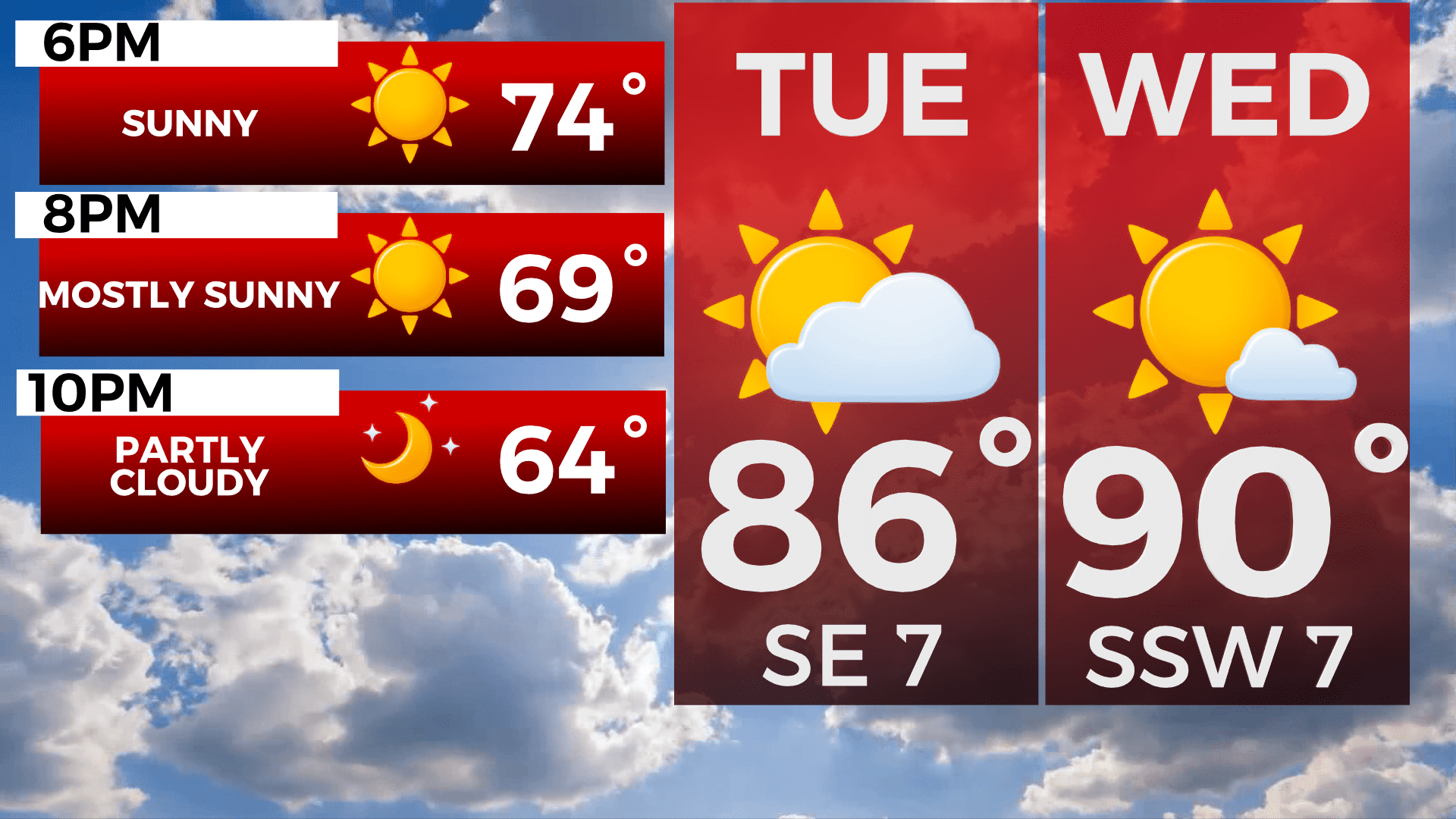
TUESDAY
Mostly sunny, with a high near 83. East wind around 5 mph becoming south in the morning.
WEDNESDAY
A slight chance of thunderstorms before 7am. Mostly cloudy, then gradually becoming sunny, with a high near 88. South wind 5 to 10 mph becoming west in the afternoon.
THURSDAY
Scattered light thunderstorms, Mostly sunny, with a high near 89. West wind around 10 mph becoming northwest in the afternoon. Winds could gust as high as 20 mph.
FRIDAY
A chance of showers, mainly after 1pm. Mostly sunny, with a high near 76. Breezy, with an east wind 10 to 15 mph, with gusts as high as 20 mph.
SATURDAY
Mostly sunny, with a high near 77. Breezy, with a north wind 10 to 15 mph, with gusts as high as 20 mph.
SUNDAY
Mostly sunny, with a high near 77. North wind around 10 mph becoming northeast in the afternoon. Winds could gust as high as 15 mph.