Weatherz School: Lake effect snow

WDIO
Of all the curve balls that Lake Superior throws at us, lake effect snow is one of the most interesting and most impactful. It all begins with cold air.
A strong temperature difference between the warm waters and frigid air above causes the air to rise and clouds to form. In this scenario, the lake is a source of instability.
In the warm months with a cold lake, the opposite is true. When the temperature above the water is warmer, Lake Superior can be a source of stability, keeping air from rising.
That’s why rain can sometimes fall apart as it approaches the shorelines. The lake winds pull the rug out of unstable air moving in.
In the cool season, we don’t get lake effect from just any cold air. To get technical, the temperature difference we need is for the air about 4,000 feet up to be at least 13°C colder than the surface of the water.
Once the snow starts forming, wind direction determines where it falls. The greater the distance being traveled over the lake, the better.
The South Shore snowbelt gets it more than anywhere else in the Northland because northwest winds are the most common. But an east wind can direct lake effect snow along the North Shore and in the Twin Ports.
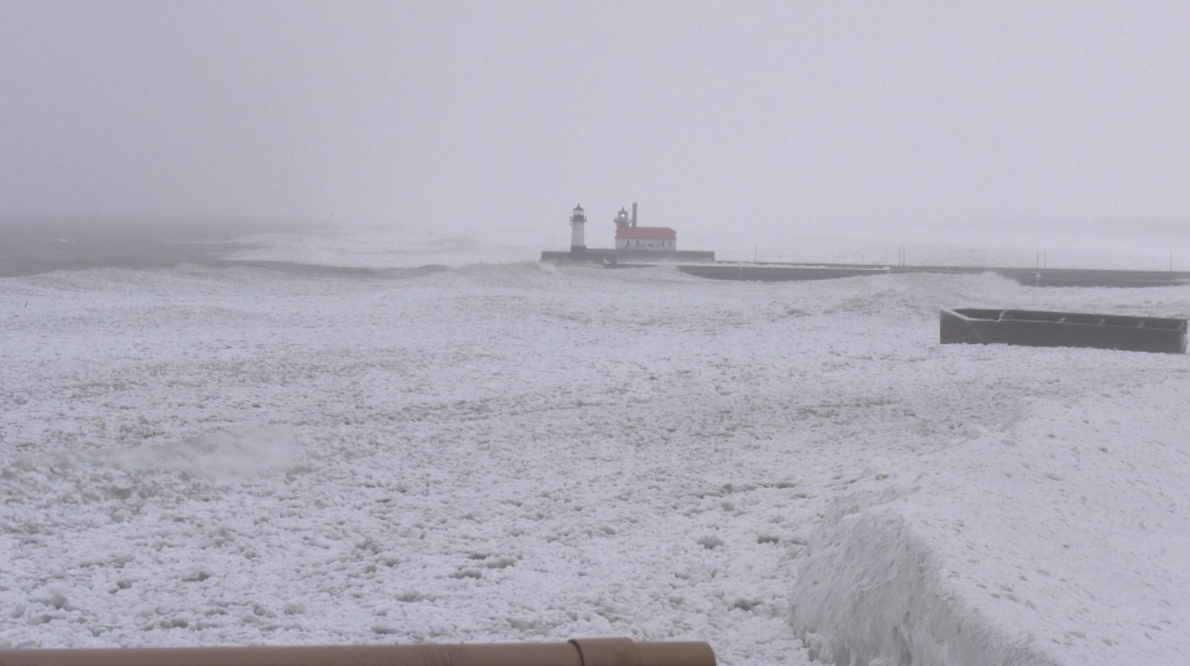
An example of this was in January of 2022. Reports ranged from Duluth’s official 7.7” at the National Weather Service to only 2” a couple of miles south!
Let’s think about snow as powdered sugar on pancakes. When a weather system brings snow, some areas get more than others, but it tends to be rather uniform across a large area. We get powdered sugar on the whole pancake.
But lake effect snow bands are narrow. The band may wiggle a bit here and there, but it can set up shop over the same localized area for hours. Now I’ve got more powdered sugar than I bargained for over parts of my pancake, but other areas are still plain.
This is why you can see snow totals vary by over a foot within just a few miles. Of course, powdered sugar is easier to clean up than a heaping pile of lake effect snow.