Snowfall reports for Saturday; more possible this weekend

24-hour snowfall totals for Saturday, October 15th
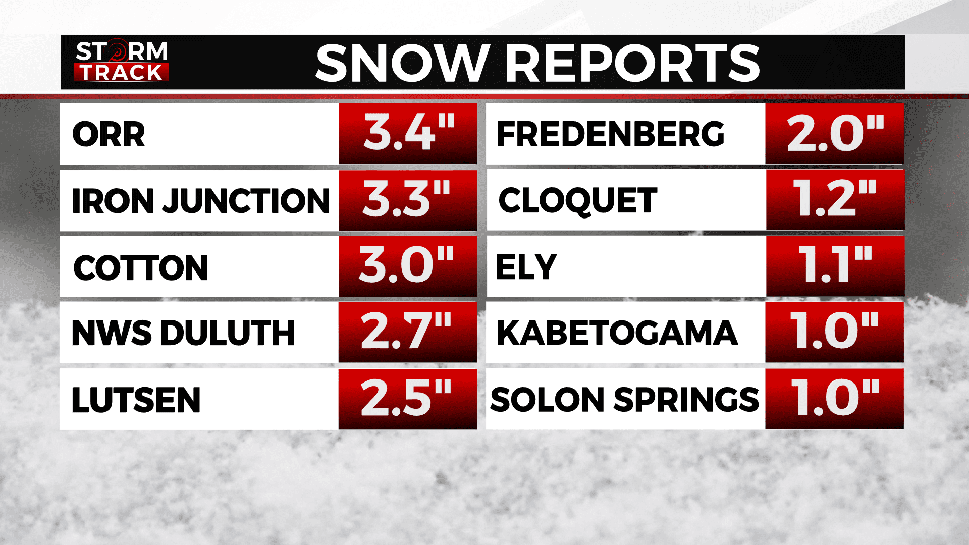
Another round of snow went through the Northland from Friday, October 14th to Saturday, October 15th. Here are the 24-hour snowfall reports, as of 1:30pm Saturday.
- 6:00 am 10/15 – 3 E Orr – 3.4 in – St. Louis County
- 10:18 am 10/15 – 2 W Iron Junction – 3.3 in – St. Louis County
- 9:00 am 10/15 – Cotton – 3.0 in – St. Louis County
- 1:10 pm 10/15 – NWS Duluth – 2.7 in – St. Louis County
- 7:00 am 10/15 – 3 SWS Lutsen – 2.5 in – Cook County
- 8:00 am 10/15 – 3 N Shaw – 2.5 in – St. Louis County
- 7:00 am 10/15 – 2 NW Fredenberg – 2.0 in – St. Louis County
- 7:30 am 10/15 – 5 NE Rice Lake – 2.0 in – St. Louis County
- 9:00 am 10/15 – 2 NNW Gary New Duluth – 1.5 in – St. Louis County
- 9:00 am 10/15 – 2 E Celina – 1.5 in – St. Louis County
- 6:15 am 10/15 – 1 ENE Taft – 1.4 in – St. Louis County
- 9:55 am 10/15 – 2 N Cloquet – 1.2 in – Carlton County
- 7:00 am 10/15 – 2 S Brimson – 1.1 in – St. Louis County
- 8:30 am 10/15 – 1 ENE Ely – 1.1 in – St. Louis County
- 4:45 am 10/15 – 3 W Leonidas – 1.0 in – St. Louis County
- 7:00 am 10/15 – 2 SSW Kabetogama – 1.0 in – St. Louis County
- 7:00 am 10/15 – 1 W Solon Springs – 1.0 in – Douglas County
- 8:00 am 10/15 – 3 ENE Ball Club – 1.0 in – Itasca County
Many of these reports were sent to the NWS through “CoCoRaHs,” the Community Collaborative Rain, Hail, and Snow Network. More information about CoCoRaHs can be found here.
A dusting of snow is possible Saturday night-Sunday. The next chance for impactful snow will be Sunday night for areas along the South Shore. With lake-effect snow potentially lasting until Tuesday morning, portions of Ashland, Iron, and Gogebic Counties could have at least 3-6” of snow.