Justin Liles: Feeling more like Summer
The next few days here across the Northland are going to be so nice outside that it is going to be difficult not to call in sick to work this week. Temperatures are going to climb into the 60s Tuesday and Wednesday and many part of the region will be near 70°. As expected, the biggest concern over the next few days will be the rapid melting taking place. Minor flooding to low lying areas along with poor drainage areas are likely. Rivers, stream and creeks may get even worse by the end of the week.
Rain looks to return by the end of the week and stay with us through the weekend. This period of rain could enhance flooding around the region. Please be careful if chasing waterfalls this week. Don’t underestimate the power of water and use caution around waterways where slippery rocks, cliffs, and strong currents are likely. Additionally, while it may be starting to look like early summer or late spring around other parts of MN and WI, across the Northland there is still plenty of snow, especially at higher elevations.
TONIGHT
Mostly cloudy, with a low around 40. Southwest wind around 10 mph, with gusts as high as 25 mph.
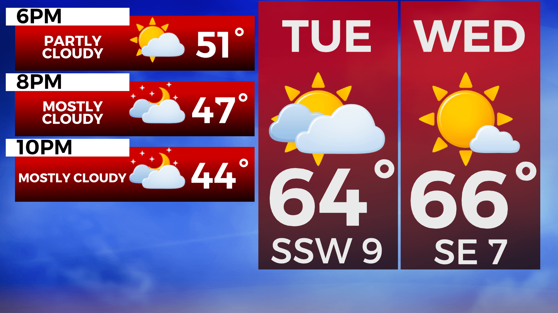
TUESDAY
Partly sunny, with a high near 63. Southwest wind around 10 mph, with gusts as high as 20 mph.
WEDNESDAY
Sunny, with a high near 68. Breezy, with a southwest wind 10 to 15 mph, with gusts as high as 20 mph.
THURSDAY
A chance of rain. Partly sunny, with a high near 54. Breezy, with an east wind 10 to 15 mph, with gusts as high as 25 mph.
FRIDAY
A chance of rain. Mostly cloudy, with a high near 52. Breezy, with an east wind around 15 mph, with gusts as high as 20 mph.
SATURDAY
Rain likely. Mostly cloudy, with a high near 46. Breezy, with a northeast wind around 15 mph, with gusts as high as 25 mph.
SUNDAY
A chance of rain and snow. Partly sunny, with a high near 40. Breezy, with a north wind 15 to 20 mph, with gusts as high as 30 mph.