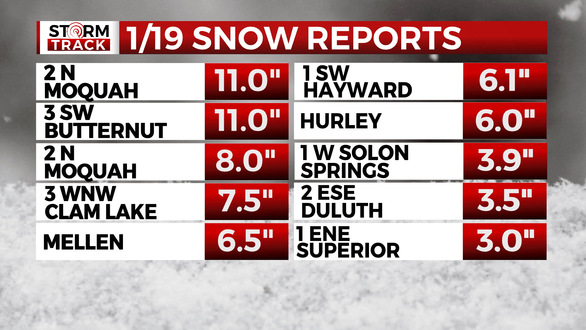
Snow reports for January 19

Snow reports for January 19
Lake effect snow brought light accumulation to areas around the Head of Lake Superior on Wednesday, January 18, then a winter storm brought widespread snow from the south on Thursday, January 19.
Northwest Wisconsin saw the worst of this system. Duluth’s season total was pushed to 75.2″ which is 28.9″ above normal.
The following are storm totals as reported to the National Weather Service on January 20:
- 6:00 AM – 3 SW Butternut – 11 inches – Price County
- 6:00 AM – 2 N Moquah – 11 inches – Bayfield County
- 6:20 AM – 1 SSE Cedar – 8.1 inches – Iron County
- 7:00 AM – 3 WNW Clam Lake – 7.5 inches – Bayfield County
- 6:00 AM – 1 S Phillips – 7.4 inches – Price County
- 7:00 AM – Pence – 7 inches – Iron County
- 7:00 AM – 3 SSE Brantwood – 7 inches – Price County
- 2:00 AM – Mellen – 6.5 inches – Ashland County
- 7:00 AM – 2 WNW Stone Lake – 6.1 inches – Washburn County
- 7:15 AM – 1 SW Hayward – 6.1 inches – Sawyer County
- 6:23 AM – Hurley – 6 inches – Iron County
- 6:00 AM – 2 WNW Seeley – 5.6 inches – Sawyer County
- 7:00 AM – 3 ENE Holyoke – 4.5 inches – Carlton County
- 7:00 AM – 1 W Solon Springs – 3.9 inches – Douglas County
- 7:00 AM – 1 WSW Maple – 3.7 inches – Douglas County
- 7:00 AM – 6 SW Webb Lake – 3.6 inches – Burnett County
- 5:55 AM – 2 ESE Duluth – 3.5 inches – St. Louis County
- 12:00 AM – 1 ENE Superior – 3 inches – Douglas County
- 7:00 AM – 1 SSE Hawthorne – 2.8 inches – Douglas County
- 6:00 AM – 1 E Taft – 1.8 inches – St. Louis County
- 6:00 AM – 3 ENE Wright – 1.8 inches – Carlton County
- 7:00 AM – 1 SSE Two harbors – 1.8 inches – Lake County
- 7:00 AM – 1 NE Sturgeon Lake – 1.7 inches – Pine County
- 7:00 AM – 2 WNW Garrison – 1.7 inches – Crow Wing County