W.A. Fisher got its start with map making
[anvplayer video=”5127403″ station=”998130″]
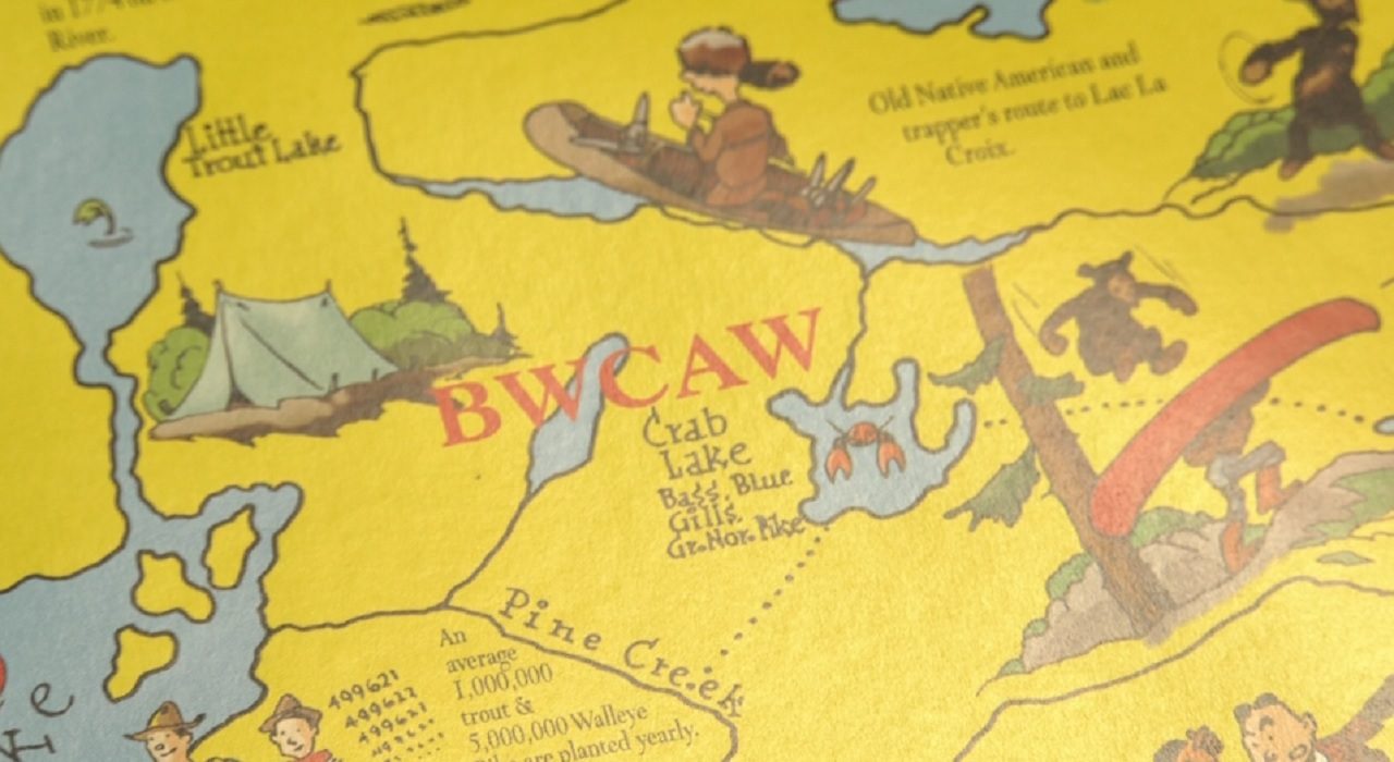
W.A. Fisher has been around for 100 years now in downtown Virginia. And they got their start by making maps of the Boundary Waters!
“People would go out there for weeks, taking notes,” Jeff Leese explained. He’s the company president. “Then they’d come back here, draw the map, and then go back out to check it.”
To this day, maps continue to be a major part of their business.
“Our maps are updated by the U.S. Forest Service each year, with campsite updates and portage changes. It’s nice to have the partnership with the Forest Service. We usually print about 25-30,000 maps each year. We sell a lot to outfitters and vendors, and have our own online store,” Leese added.
W.A. Fisher is now a full service ad agency, and has been especially busy lately with election printing.