Rainfall Amounts for Tuesday into Wednesday
Heavy rain brought widespread accumulation and and potential for flooding to the Northland Tuesday into Wednesday.
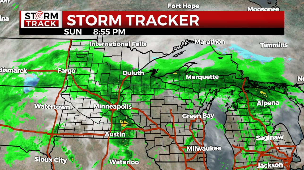
The bulk of accumulation has wrapped up by 7 am Wednesday. Scattered showers will keep additional amounts under a tenth of an inch for most.
Here are some rainfall totals reported to the National Weather Service as of 8:00 a.m. Wednesday, May 22.
- 8:00 AM – 1 NW Virginia – 2.25 inches – St. Louis County
- 8:30 AM – 3 SW Lester Park – 2.20 inches – St. Louis County
- 7:00 AM – 2 S Wrenshall – 2.03 inches – Carlton County
- 7:00 AM – 6 W Washburn – 1.70 inches – Bayfield County
- 7:00 AM – 6 SE Mcgrath – 1.68 inches – Aitkin County
- 8:30 AM – 1 WSW Backus – 1.68 inches – Cass County
- 8:00 AM – 1 NNW French River – 1.67 inches – St. Louis County
- 7:00 AM – 3 ESE Moose Lake – 1.63 inches – Carlton County
- 8:30 AM – 1 N Washburn – 1.60 inches – Bayfield County
- 7:00 AM – 1 W Solon Springs – 1.59 inches – Douglas County
- 8:42 AM – 2 W Side Lake – 1.50 inches –
- 8:00 AM – 2 ENE Baxter – 1.42 inches – Crow Wing County
- 8:00 AM – 4 E Hayward – 1.37 inches – Sawyer County
- 8:00 AM – 1 ESE Henriette – 1.21 inches – Pine County
- 8:00 AM – 5 N Grand Rapids – 1.20 inches – Itasca County
The reports above are from a network of citizen weather observers. The following are rain reports from area airports as of 8:00 a.m. Wednesday, May 22.
- Hibbing – 1.95″
- Brainerd – 1.71″
- International Falls – 1.71″
- Ironwood – 1.70″
- Duluth – 1.58″
- Superior – 1.36″
- Siren – 1.32″
- Ashland – 1.28″
- Grand Rapids – 1.12″
- Hayward – 1.09″
Track rain yourself with our interactive radar. Turn on the Storm Track option in the LAYERS window. If you are looking at the radar on WDIO.com, tap the LAYER (3 papers) in the lower right corner of the radar window. This will help you see the direction that the storms and heavy rain is moving. On the mobile app, click on the three papers in the lower right and turn on Storm Tracks under the Secondary Overlay section.
Here are some rainfall totals reported to the National Weather Service as of 4:00 p.m. Tuesday, May 21.
- 10:00 AM – 1 N Fort Ripley – 2.05 inches – Crow Wing County
- 10:00 AM – Sandstone – 1.12 inches – Pine County
- 12:00 PM – 3.2 N Pequot Lakes – 1.15 inches – Crow Wing County
- 3:20 PM – 6 NW Finlayson – 1.05 inches – Pine County
- 12:01 PM – 3 WSW Baxter – 1.01 inches – Cass County
- 3:30 PM – 6 SSW of Grand Rapids – 1.00 inches – Itasca County
- 10:45 AM – 6 E Askov – 0.90 inches – Pine County
- 10:55 AM – 2 NNE Duluth – 0.58 inches – St. Louis County
Flash floods can be sudden. If you are near a river or creek and see water covering the road, remember the saying “Turn Around. Don’t Drown.” Don’t walk, swim or drive through floodwaters. Only 6 inches of fast-moving water can knock you off your feet. Only 12 inches of water is needed to lift your vehicle and carry it downstream.
The American Red Cross says it is important to understand your flood risk. There are different types of flooding that you should be aware of including, flash floods, river floouding, dam breaks, and more. They recommend that you know your home and community’s flood risk by visiting FEMA Flood Map Service Center and search for your home using your address.