Justin Liles: Foggy around the lake, significant heat south
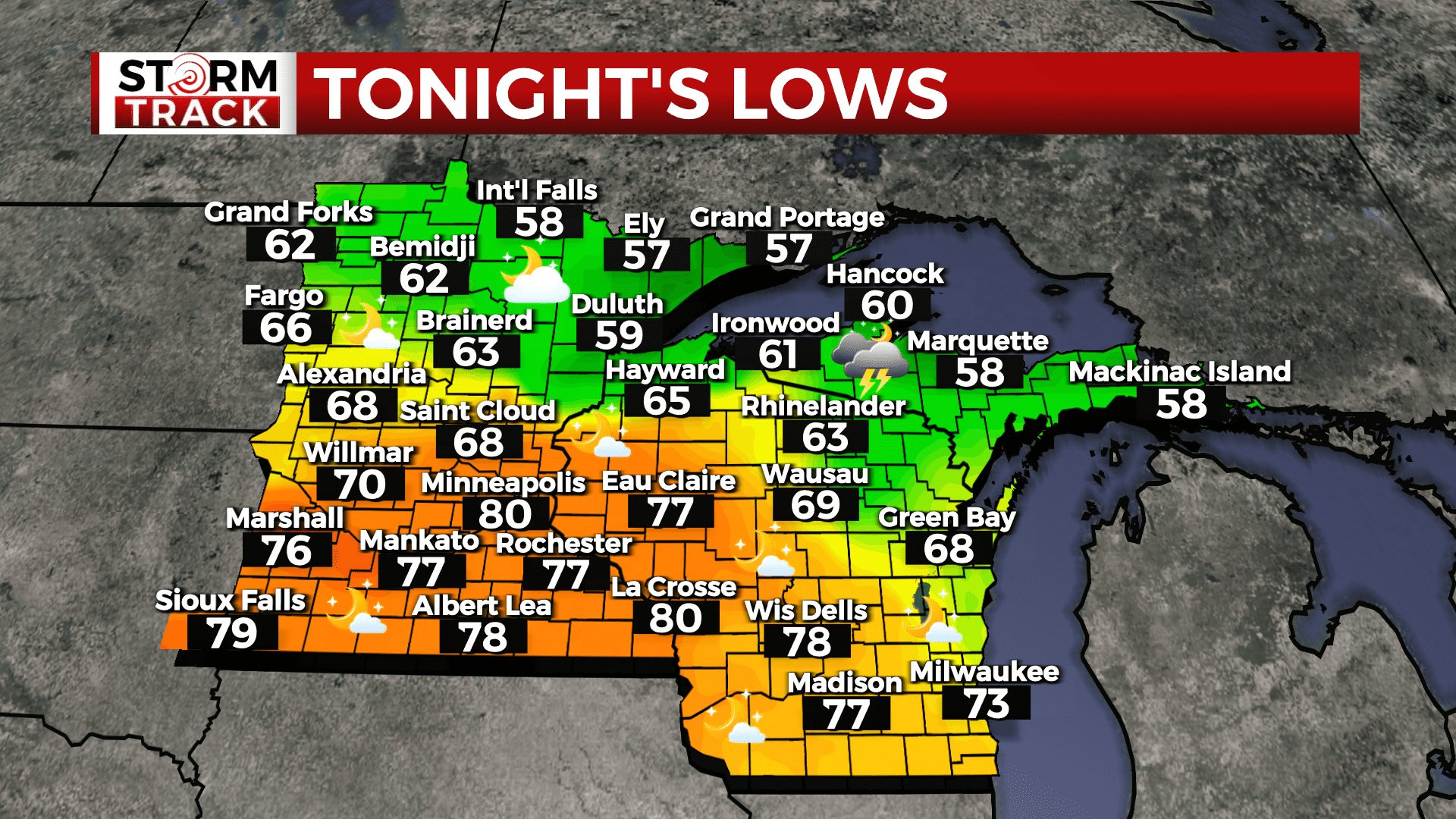
Rain chances have generally ended across the region, although areas of fog and drizzle are expected to persist overnight along the North Shore of Lake Superior into the Twin Ports area with onshore winds. Dry conditions are then expected for Wednesday with very warm to hot temperatures in areas along and south of a Walker to Hinckley to Park Falls line where temperatures in the 80s and lower 90s are expected.
The heat index in these areas will be in the upper 90s and lower 100s. Rain chances will return for Wednesday night into Thursday morning as a cold front works across the region. Temperatures will be cooler behind the front Friday with additional chances for showers and storms.
TONIGHT
A slight chance of drizzle before 1am. Patchy fog. Otherwise, mostly cloudy, with a low around 60. Breezy, with a northeast wind 10 to 20 mph, with gusts as high as 25 mph.
WEDNESDAY
Areas of fog before 10am. Otherwise, partly sunny, with a high near 71. East wind around 10 mph, with gusts as high as 15 mph.
THURSDAY
A chance of thunderstorms before 7am. Mostly sunny, with a high near 79. North wind 5 to 10 mph. Chance of precipitation is 30%.
FRIDAY
A chance of showers and thunderstorms. Mostly sunny, with a high near 77. Breezy, with a west wind 5 to 15 mph becoming north in the afternoon. Winds could gust as high as 25 mph.
SATURDAY
Mostly sunny, with a high near 67. Breezy, with a northeast wind 10 to 15 mph, with gusts as high as 20 mph.
SUNDAY
Sunny, with a high near 75. Southeast wind 5 to 10 mph becoming south in the afternoon.
MONDAY
A slight chance of showers. Mostly sunny, with a high near 78. Southwest wind around 10 mph, with gusts as high as 20 mph.
TUESDAY
Sunny, with a high near 80. West wind around 10 mph, with gusts as high as 15 mph.