FEMA holds public meeting for Duluth’s floodplain updates
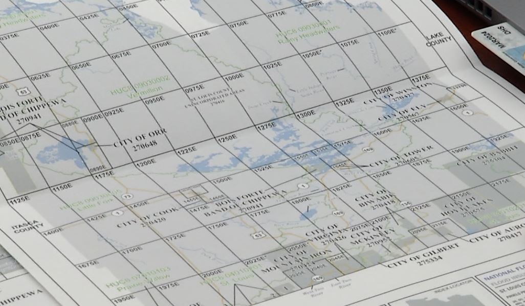
St. Louis County Public Works Department was joined by Federal Emergency Management Agency (FEMA) officials Thursday evening to discuss changes in Duluth’s floodplain. At the meeting, officials talked about the recently released preliminary Flood Insurance Rate Maps and how that would affect local landowners. The public was encouraged to attend the meeting in order to view the updated maps and learn more about each type of floodplain. Landowners were also able to discuss the need for and cost of flood insurance should they need it.
Those who were unable to attend the meeting are invited to go to The City of Duluth’s Planning and Economic Development webpage. That page will have links for landowners to locate their property on an aerial photo map with the floodplain designation. The page also includes an explanation for each type of floodplain with links to Duluth’s Unified Development Chapter sections regulating construction in a floodplain.