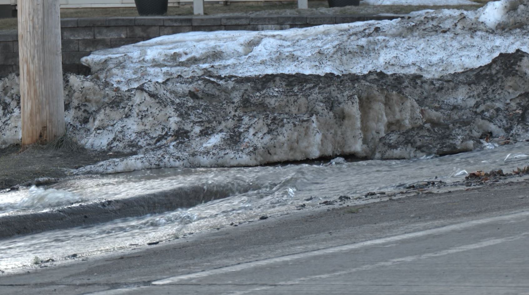
NWS puts rapid snow melt into perspective

(WDIO)
With major melting across the Northland, the National Weather Service (NWS) in Duluth is putting it all into perspective for us.
“Due to the nature of our storms and above-normal winter temperatures, at least some of that snow came with quite a bit of moisture. And we even received several rain or mixed precipitation events through the winter,” shared Ketzel Levens, a meteorologist with the Duluth NWS, during a press conference Wednesday about St. Louis County’s overall flood preparation and response plan.
“At the end of last week, there was a widespread four to eight inches of snow water equivalent across the area, and up to nine to 14 inches of liquid in the snowpack in the higher terrain of the North and South Shore,” explained Levens. “If all of that snow were to melt in two weeks, the water released would be the equivalent to 1/2 to 1 1/2 inches of rain every single day for 14 days, just from snowmelt alone.”
If we compare this year’s Spring thaw to last year, there is a significant difference, and it’s all below ground.
“Due to a fairly warm winter, we have little to no frost in the ground across St. Louis County and across much of the Northland as a whole. This will allow soils and trees and plants to soak up some of the water. But those soils will eventually become saturated and unable to take up additional water — especially if that melt is 24 hours a day, like we have been experiencing.”
Levens shared that observations from CoCoRAHs observers tells the NWS that our overall snow depth has decreased anywhere from six to 20 inches. Just in the last two to five days, the snowpack has shrunk by one to six inches of snow-water equivalent.
“Along the North Shore, flows have increased. We’ve been seeing a steady increase this weekend and through this week, especially in Lake and St. Louis Counties — which have had the warmer temperatures, and also actually have more snow compared to Cook County,” Levens explained. “The bigger impact along the North Shore will likely be to back gravel roads and areas that suffer from poor drainage.”
Right now, the angle of the sun is similar to the angle we see in mid to late August, which is what’s causing such a rapid melt so late in the season, according to the NWS.