Justin Liles: Quiet tonight, rain Friday
High pressure passing to our south will keep us drier the rest of the afternoon and evening. There is an upper-level low north of the International Border that will be responsible for several chances of rain as we head into the weekend. Clouds will increase some tonight and through the day tomorrow. Southerly winds will pipe in a little more moisture tonight and Friday. There is a marginal risk for some afternoon to early evening pop up showers and storms.
The likely area for stronger storms will be in the northern half of the region and north of the Iron Range. The biggest threat will be heavy rains, possibly some smaller hail, and gusty winds. Rain chances spread into the weekend and next week as it looks like the low north of us parks itself for a while. This means we will likely see weaker impulses pushed across the border to spark some rain showers. The low will also create a northerly flow which will keep us cooler and closer to season averages in the low to mid 70s.
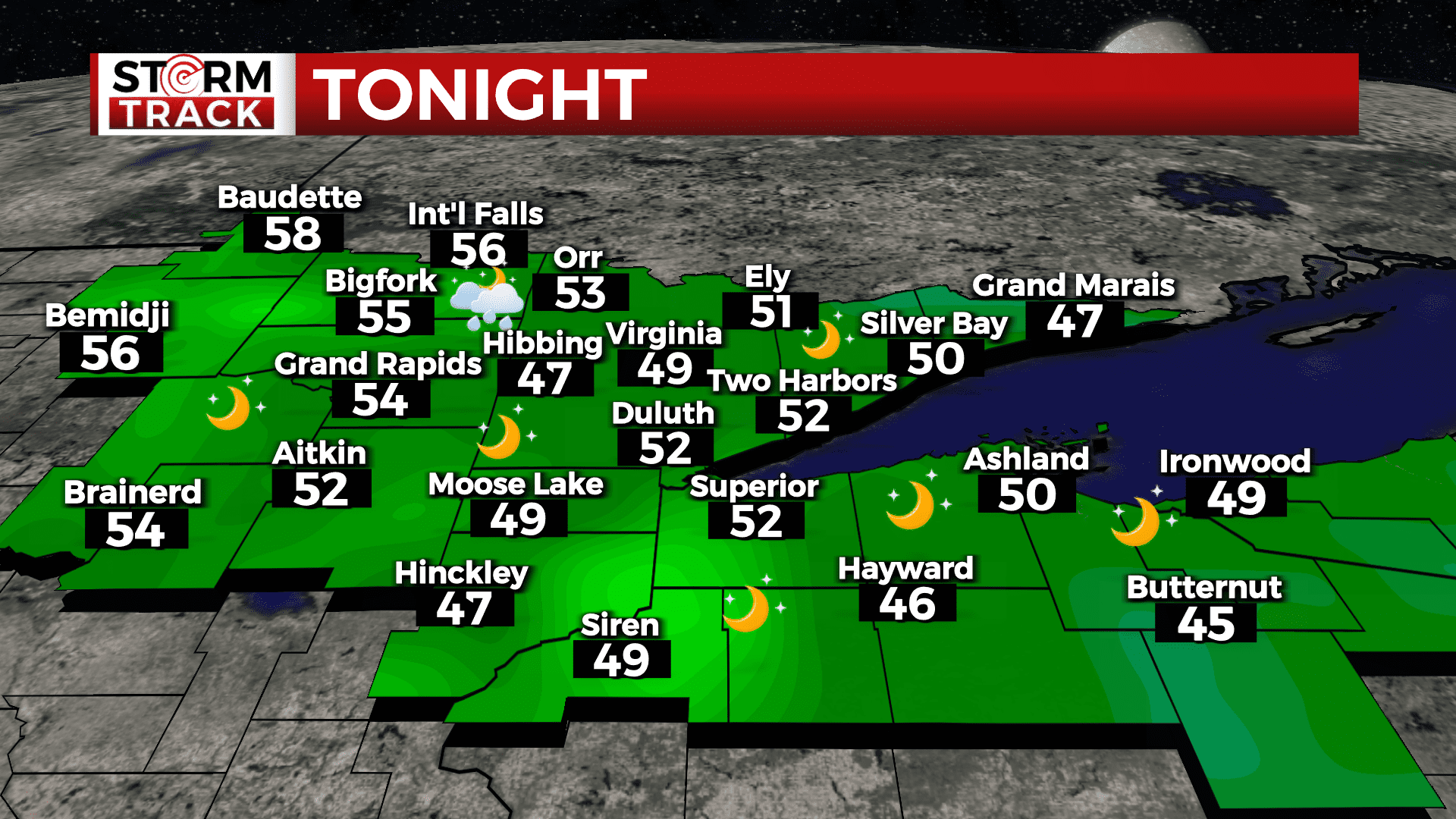
Tonight
Mostly clear, with a low around 54. Southwest wind 5 to 10 mph.
Friday
A 40 percent chance of showers after 4pm. Mostly sunny, with a high near 77. Breezy, with a southwest wind 10 to 15 mph.
Saturday
A 20 percent chance of early morning showers and thunderstorms, otherwise, Mostly sunny, with a high near 73. Northeast wind around 10 mph.
Sunday
A chance of showers and thunderstorms after 1pm. Mostly sunny, with a high near 79. Breezy, with a southwest wind 10 to 20 mph, with gusts as high as 30 mph.
Monday
A slight chance of showers and thunderstorms. Sunny, with a high near 75. Breezy, with a northwest wind around 15 mph, with gusts as high as 20 mph.
Tuesday
A slight chance of showers. Sunny, with a high near 73. Breezy, with a northwest wind 10 to 15 mph, with gusts as high as 20 mph.
Wednesday
A slight chance of showers. Mostly sunny, with a high near 75. Breezy, with a northwest wind 10 to 15 mph, with gusts as high as 20 mph.