Storm Track Weather
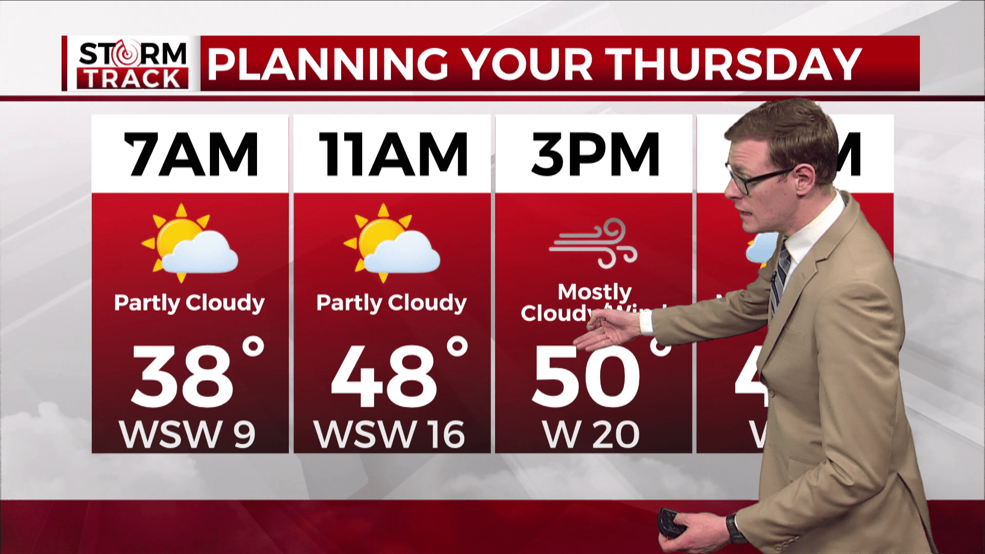
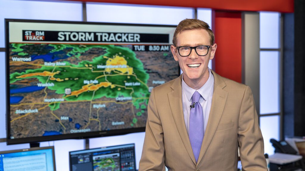
Brandon Weatherz: Cool and gusty end to the week
Last Updated
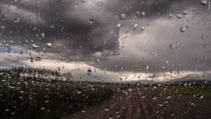
Our Thursday is breezy with times of sun. Sporadic rain and snow showers are possible in northern Minnesota today, tonight, and Friday.


Meet the Storm Track Weather Meteorologists

Justin Liles says he got his weather calling at a very young age while watching Kermit the Frog give the weather reports on Sesame Street. He joined the WDIO weather staff in the spring of 2005, and became the Chief Meteorologist in 2007. Justin spends many hours visiting Northland schools talking about the weather with students.
Read More…
Brandon’s family name is “Weathers” so his destiny may have been sealed. When he got married, he changed the name to “Weatherz” to carry over the “z” from his wife’s maiden name. Brandon joined the Storm Track Weather team in 2018 and kicked off “Weatherz School” in 2022.
Read More…
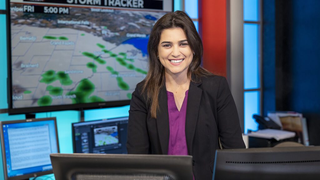
Sabrina Ullman joined the WDIO Weather Team immediately after graduating college in May 2021. Coming from Florida, it didn’t take long for Sabrina to experience a “real winter.” Sabrina is a multimedia journalist whose stories focus on the outdoors and our natural resources.
Read More…